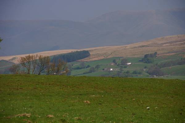
Crag Hill, Great Coum and the Megger Stones.
Start. Dent.
Route. Dent - Flinter Gill - Occupation Road - Wold End Moss - Brown Haw - Crag Side - Crag Hill - Great Coum - Crag End - Megger Stones - Occupation Road - Flinter Gill - Dent.
Notes. Dent in the Yorkshire Dales doesn't sound very interesting dose it, takes it's name from the dale it occupies, Dentdale probably named by our Viking forefathers, take a walk around Dent and the place suddenly becomes more interesting, birth place and home to Adam Sedgwick professor of geology, in fact the greatest field geologist of his time, in the graveyard the grave of the Dent Vampire George Hodgson, the story's well documented, best take a crucifix, famous for Mad Knitters, every person in the village knitted, socks and gloves for the British Army, Dent Marble, actually limestone inlaid with fossils adorns some of the worlds grandest buildings, narrow cobbled streets thanks to the residence, whom fort a long battle against the local council, they wanted to replace them with modern tarmac, further up the dale Dent Station the highest main line railway station in England, then there's the walking, I'll get to that shortly.
I always thought Dent was a place the elderly came to end their walking days, like the legendary elephants graveyard but for ramblers, a short stroll then sit in a tea shop before going home to put their feet up. get the picture. I came here some years ago with an interest in the many cairns adorning the Dales rocky edges and scars, sometimes known as stone men, I'd seen the Megger Stones marked on the map so went to investigate. I found them, some ancient some modern, took the pictures and left, I return the following weekend, and the weekend after that, in fact I became a regular visitor most of that summer, what I had actually discovered was some of the best walking outside the Lake District. I've mentioned my mental list of top ten walks before well number one on that list is out of Dent, but not today's.
I parked in the main car park, (only car park) following the lane opposite the entrance I made my way to a steep stony bridleway, the locals call Flinter Gill, my ascent through the trees passed some Dancing Flags (another story) a Wishing Tree, restored Lime Kiln and small quarry before reaching the Occupation Road, an old drovers route marked on the map as Green Lane. Here I turned right, just round the corner on the left another lane sealed by a gate, I followed this over Wold End Moss accessing the open moor. Following a dry stone wall and fence I made the easy ascent over Brown Haw before tackling the steep ascent up Crag Side, at the top a stile allowed safe access to the summit of Crag Hill. Re-tracing my steps I followed the path to Great Coum before making my descent to the Megger Stones. My descent from the Megger Stones lead me back onto the Occupation Road from where I strolled north back to the head of Flinter Gill.

The stunning view across Dentdale taking in the Howgill Fell above Long Moor.
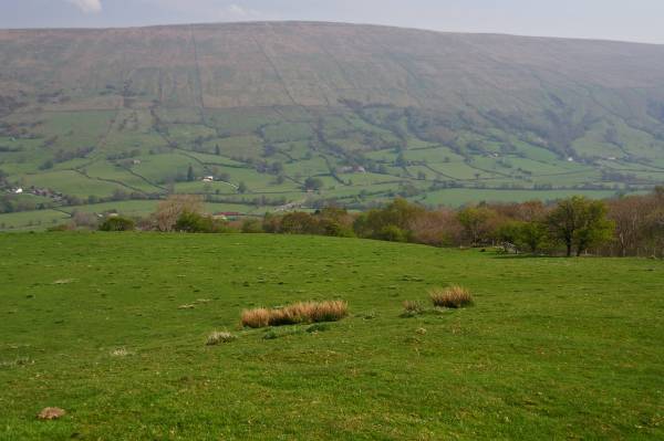
Aye Gill Pike rising above Dentdale.
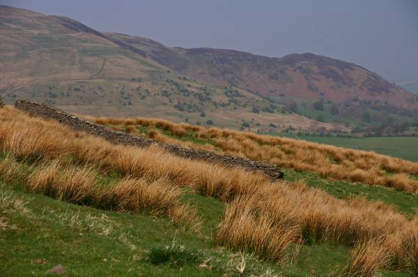
Nearing the top of Flinter Gill looking to the cliffs of Combe Scar.
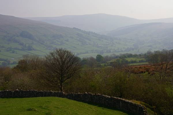
The scene over Dentdale with Great Knoutberry Hill blue/grey across the horizon.
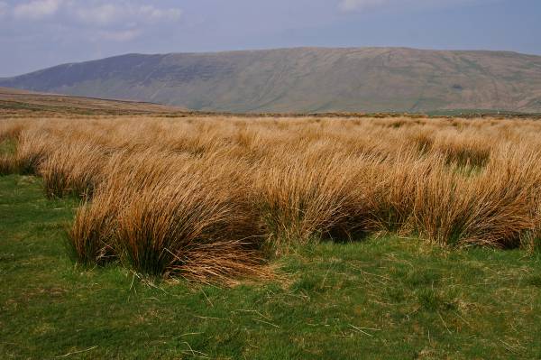
Looking to the hills above Barbondale, Calf Top, Barkin Top and Castle Knott.
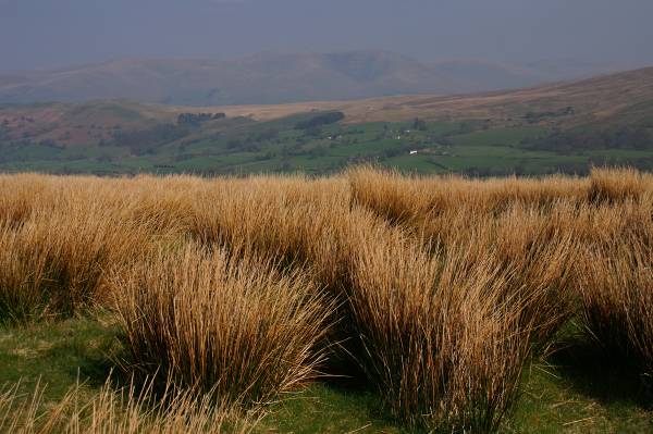
Helms Knott and Long Moor backed by the rounded hills of the Howgill Fells.
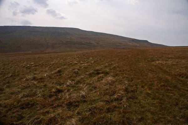
Crag Hill and Crag Side seen from Brown Haw.
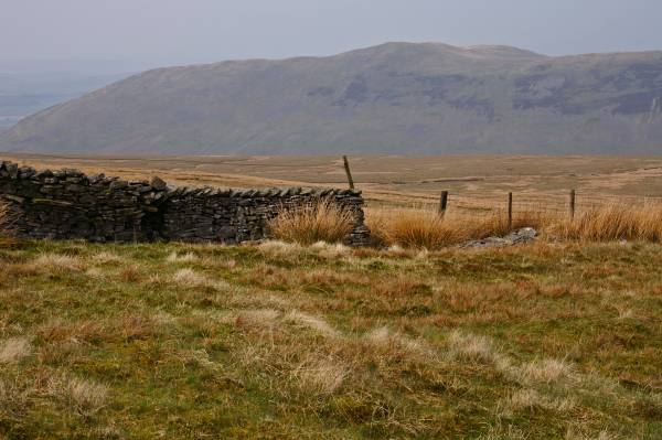
Seen across Plain Moss, Castle Knott, I'm about to start the steep ascent of Crag Side.
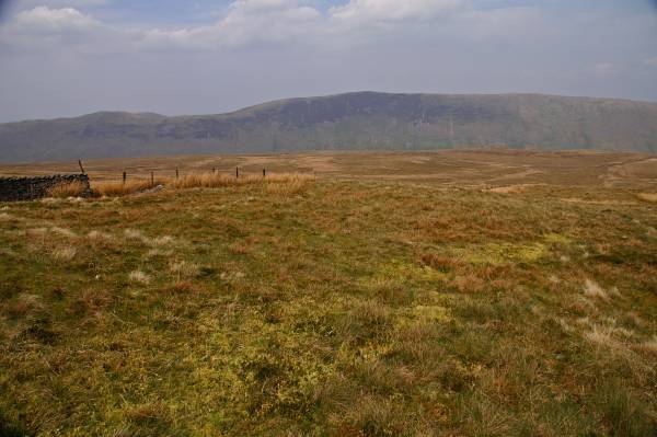
But just before I set off Castle Knott leading to Calf Top.

I'm putting off the inevitable here, another shot to Castle Knott, hardly visible on the grey horizon Morecambe Bay on the Irish Sea coast.
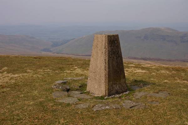
The summit Crag Hill with views into Barbondale.
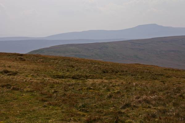
To the east the grey profile of Ingleborough.
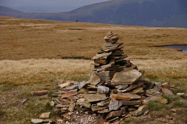
A small cairn above Crag End passed en route to Great Coum.
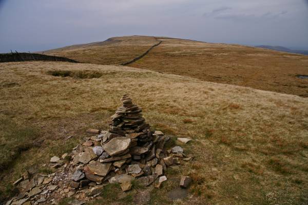
Views back down the grassy ridge leading to Crag Hill.
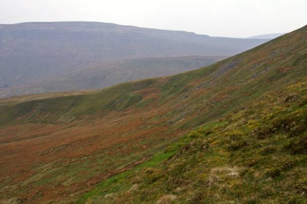
Whernside seen over Great Coum.
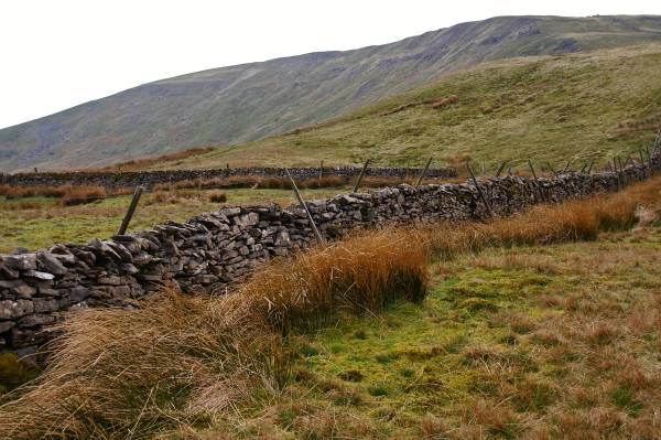
Seen from the foot of Crag End, Great Coum.
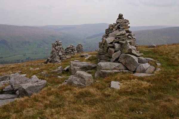
The Megger Stones with views up Dentdale....
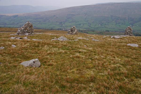
and to Aye Gill Pike with the Howgill Fells to the left....
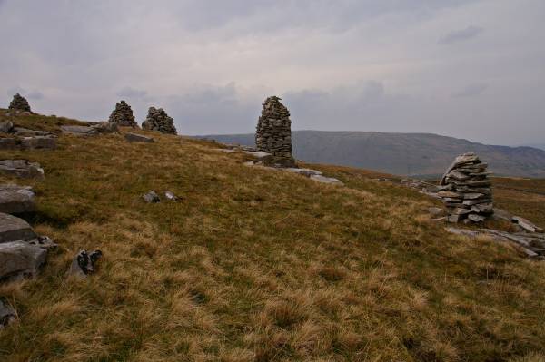
west to Barkin and Combe Top.
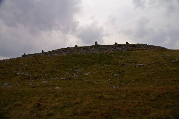
Descending to the Occupation Road saying a sad goodbye to the Megger Stones, the reason I first discovered Dentdale.